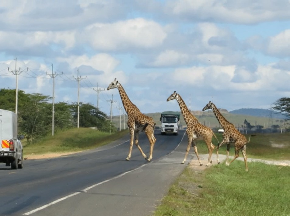
Wildlife-vehicle collisions are both a conservation problem and a human safety one. By mapping incident locations and modelling collision risk along major corridors, this work turned scattered records into a spatial priority list that agencies could act on.
Replace this text with the real write-up.